China › Tibet
Province
Tibet 西藏
High plateau, monasteries, and thin air
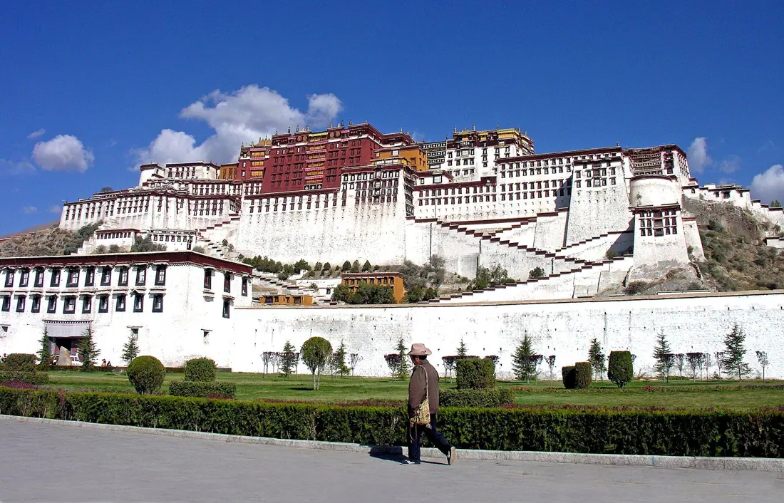
Tibet is a vast high-altitude plateau ringed by the Himalayas, with dry valleys and salt lakes. Visitors come for the monasteries, the pilgrimage routes, and the scale of the land itself.
The Tibet Travel Permit
Tibet Travel Permit, arranged through a licensed agency
source ↗Every place in Tibet needs it as well as your visa, so the suggested routes never send you here on their own. Keep a place from the map if you are going anyway.
Go if You are ready for altitude and want a journey that changes you.
Skip if You cannot arrange the required permits and guided itinerary in time.
Known for: Potala Palace · Jokhang Temple · Everest base camp · Yamdrok Lake · Barkhor Street · Butter tea
How many days in Tibet?
Lhasa 4 days · Shigatse 3 days · Nyingchi 3 days · Ngari 4 days · Changdu 3 days · Shannan 3 days. The best-known five, end to end: about 17 days.
Where to go
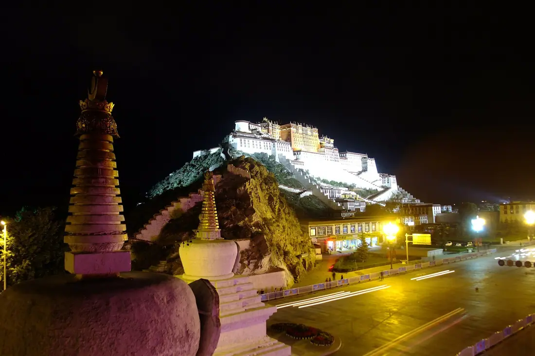 Lhasa 拉萨The Potala Palace and pilgrim life around the Jokhang8 sights · Give it 4 daysPhoto: xue siyang (df45086), CC BY-SA 4.0, via Openverse
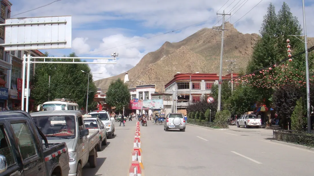 Shigatse 日喀则Monasteries and dzongs across the old Tsang heartland4 sights · Give it 3 daysPhoto: 罗布泊, CC BY 4.0, via Openverse
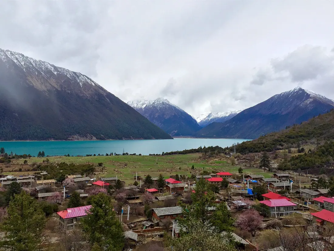 Nyingchi 林芝Deep gorge, high lake and greener eastern Tibet4 sights · Give it 3 daysPhoto: ping lin, CC BY-SA 4.0, via Openverse
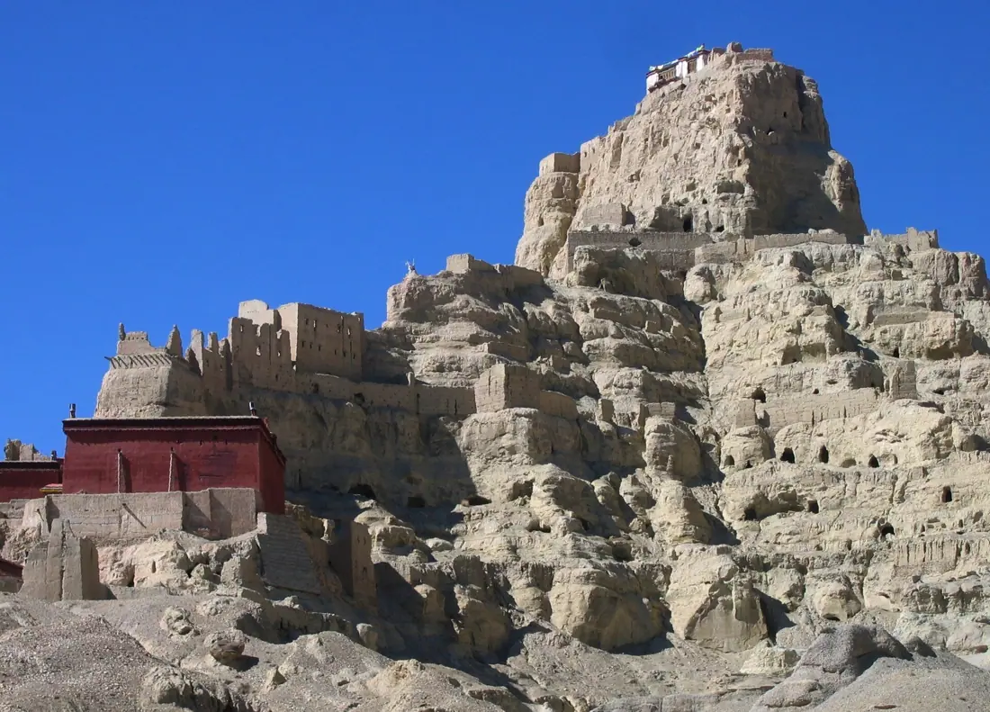 Ngari
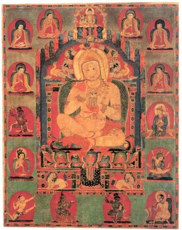 Changdu
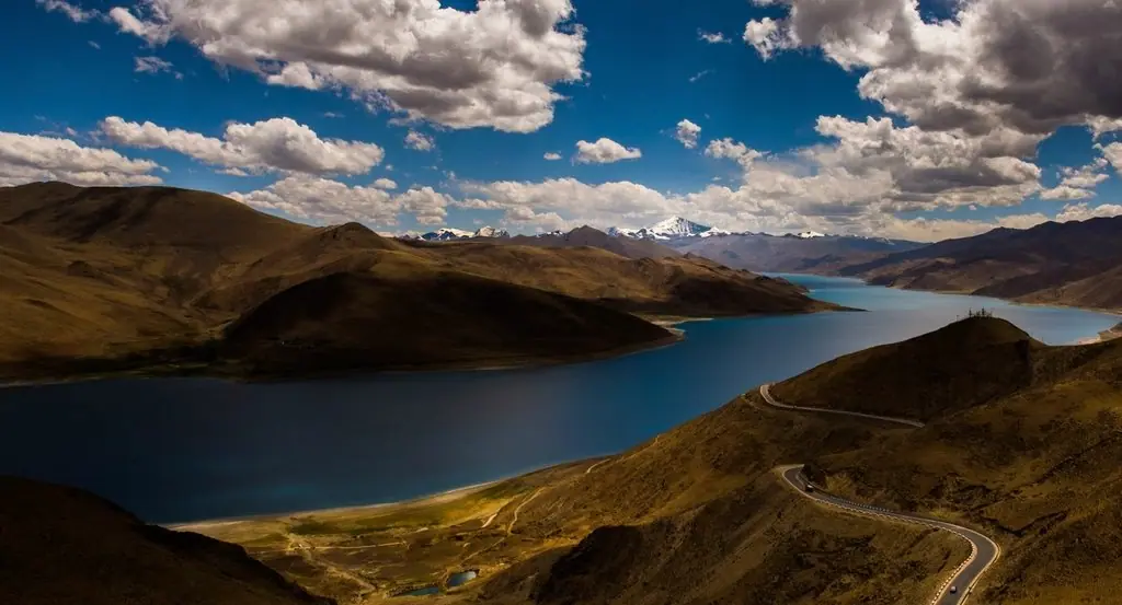 Shannan


What Tibet eats
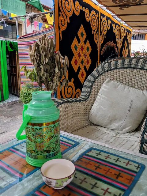 酥油茶Butter teaPhoto: Jpatokal, CC BY-SA 4.0, via Wikimedia CommonsChurned tea with yak butter and salt that fights the cold and dryness, offered constantly as high-plate hospitality.
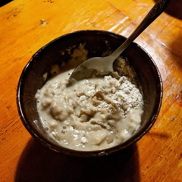 糌粑Tsampa roasted-barley doughPhoto: Jpatokal, CC BY-SA 4.0, via Wikimedia CommonsRoasted barley flour kneaded with butter tea into a dough, the food Tibetans have carried on every road for centuries.
- 牦牛肉汤锅Yak-meat soup potDark, lean yak beef simmered plainly with bone marrow and salt, meat that tastes of the plateau wind.
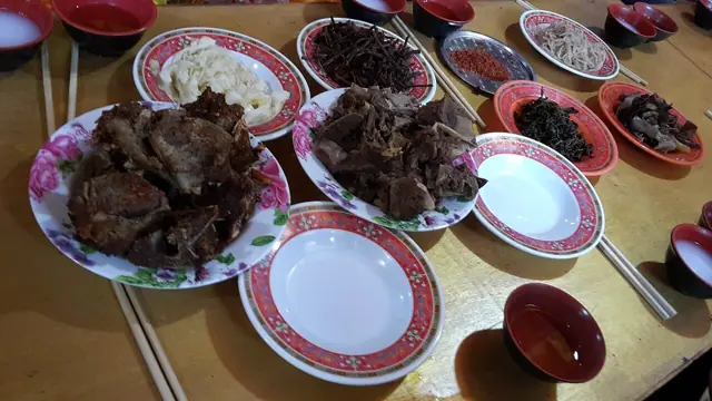 藏面Tibetan noodlesPhoto: Popolon, CC BY-SA 3.0, via Wikimedia CommonsA small bowl of chewy noodles in simple yak broth, the standard Lhasa teahouse breakfast eaten in minutes.
- 甜茶Sweet milk teaBlack tea boiled with milk and sugar, poured by the glass in Lhasa teahouses where regulars sit all morning.
- 牦牛酸奶Yak yogurtSour, thick spoon-standing yogurt topped with sugar, the plateau dessert that resets your mouth after meat.
- 风干牦牛肉Air-dried yakYak strips dried in cold winter wind, chewy and faintly sweet, the road snack sold everywhere in long braids.
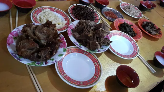 藏式包子Tibetan momo dumplingsPhoto: Popolon, CC BY-SA 3.0, via Wikimedia CommonsSteamed half-moon buns packed with yak meat and onion, juicy enough to drink from the corner.
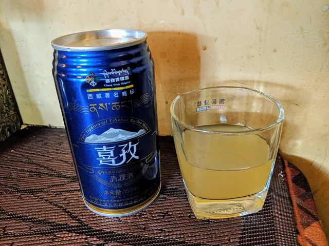 青稞酒Barley winePhoto: Jpatokal, CC BY-SA 4.0, via Wikimedia CommonsLow-alcohol fermented barley brew served in bowls with a welcome song, the toast of every Tibetan gathering.
- 卡赛Kapse fried twistsButter-deep-fried dough shapes glazed in sugar, made for Tibetan New Year and sold fresh at festival stalls.


Point at the Chinese: it is the name on the menu.
The people
High-altitude plateau above 3,600 m; thin dry air, harsh winters, strong sun.
Homeland of the Tibetans, where Buddhism shapes the calendar, the landscape and daily gestures; barley farming and herding still set the rhythm outside Lhasa.
Tibetan is the first language for most people; Mandarin is common in cities and rare in villages. Foreign visitors travel with a licensed guide.
Walk clockwise around monasteries, stupas and prayer wheels; remove hats inside chapels, never touch anyone's head, and photograph monks only with clear permission.